
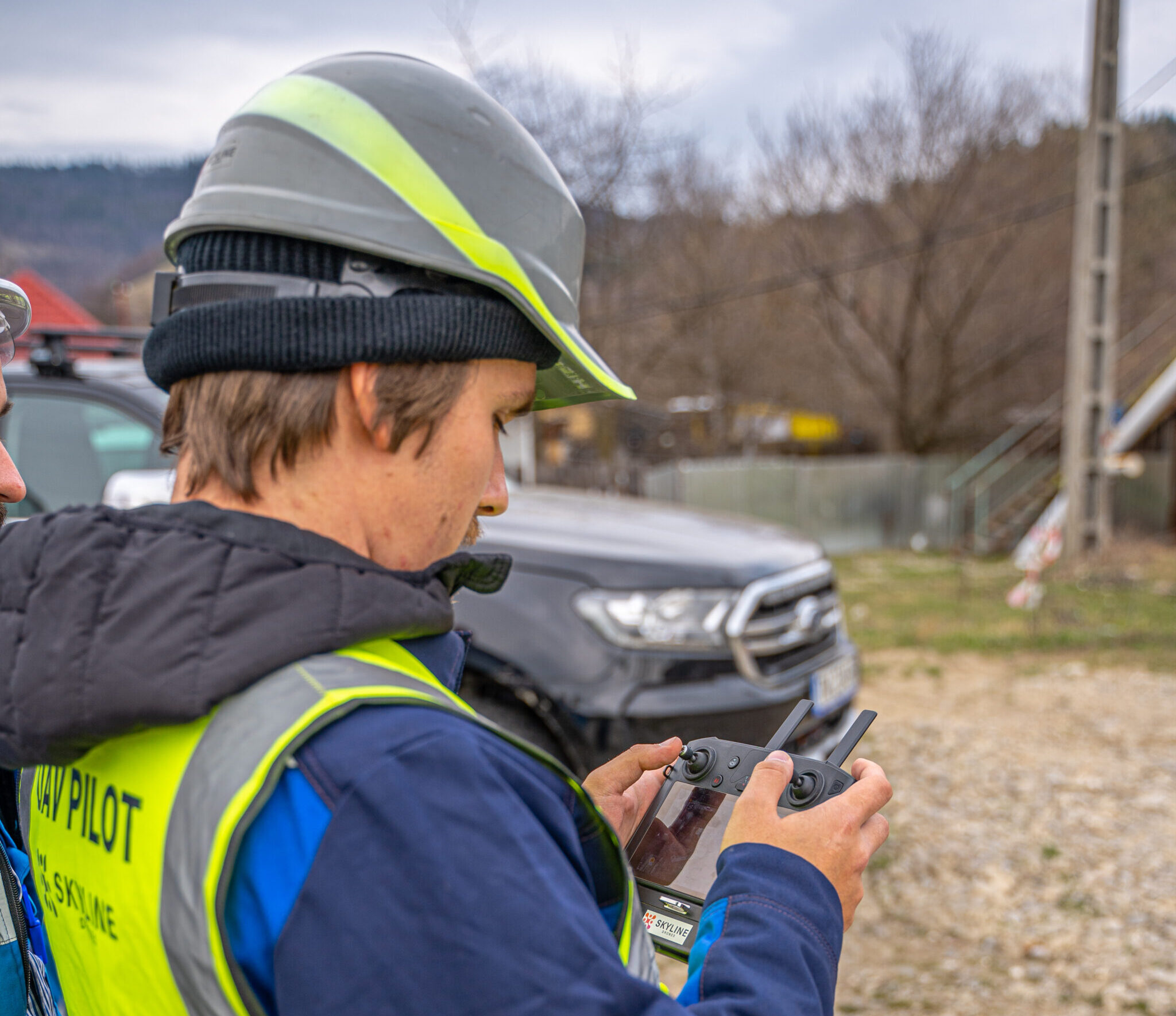
We had the great opportunity to scan the newest and largest power line in Romania, Lea 400 kV by Transelectrica S.A., using Lidar technology and Enterprise drones.
Our task was to scan both passages of the power line that crosses the Danube twice.
We used YellowScan Mapper+ and DJI Drones M300 to get the best results.
The advantages of using LiDAR are many:
- the use of point clouds and 3D maps allows operators to measure the distance between foliage, difference in vegetation and the power line itself.
- another advantage of LiDAR aerial inspections is the speed of deployment. The amount of data collected from the air with Lidar in one day is enormous and also qualitative.
- the third major advantage is the ability to inspect beyond the vegetation near the power lines and see the digital terrain model and changes over a period of time.

Transelectrica officials claim: “We pay special attention to research-innovation activities and the implementation of modern technologies in the development and maintenance processes of Romania’s Electric Transport Network (RET). We believe that to innovate is to bring an open systematic approach to techniques from different fields.
In a first for Transelectrica, we have already tested the LiDAR (Light Detection and Ranging), RGB (Red, Green, Blue) and infrared technologies, using professional drones, within the DigiTEL – 3D LineVision research-innovation project, developed by the Technical Directorate’s specialists, Energy Efficiency and New Technologies in collaboration with SKYLINE DRONES.”
The entire news can be read on the Transelectrica website.
The news was also picked up by other online sources: Financial Intelligence, Focus Energetic, Invest energy, Henro and The Diplomat.
The summary of our activity can be seen in the video below:


