

In recent years, since the beginning of the war in Ukraine, both sides have been using jamming systems to disrupt the tracking and control systems of UAVs
These systems jam all countries that are close to the combat area. Russia is the main source of GPS jamming or RF jamming, and they do this willingly by installing jamming systems near Europe, where they have territories, or in the territories of their allies.

Why GPS & RF jamming are bad for drones?
So basically jamming is like background noise when two people are speaking, with more noise there is, the less information is transmitted from the sender to the receiver.
In the case of the GPS jamming, the GPS antenna receives a good and a bad signal on the same frequencies at the same time, which disturbs the positioning, so the drone has a drop in the number of sats and this number also fluctuates greatly, which can make the drone unreliable in flight. Also, if you need to make aerial scans using photogrammetry or lidar technology, your photos, or point clouds will not contain GPS data or will be miscalculated.
Another type of GPS jamming is known as spoofing, where the jamming system attempts to corrupt the GPS data, affecting the drone’s flight direction or return to home course. Basically, the drone could fly away in an area chosen by the spoofing system.

In the event of RF jamming, the first affected part of the transmission system is the video feed and then the control link, which is the last to fail. In the event of a transmission failure, a smart drone activates the function to return home if the GPS system is still working.

Lately, you can check these interferences on the GPSJAM GPS/GNSS Interference Map. Unfortunately, these maps are not real-time, so you will not be able to check these jamming issues live when you encounter them, but you can assume that if it was bad two days ago, it still is.

Skyline Drones team encountered a various type of problems when using drones in hard jammed area near the coastline of the Black Sea at the border with Ukraine and also a little way further when we found out that the residual jamming signal can travel way further and can affect the centimeter accuracy of a project.
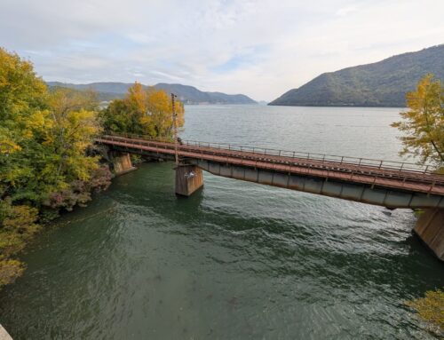
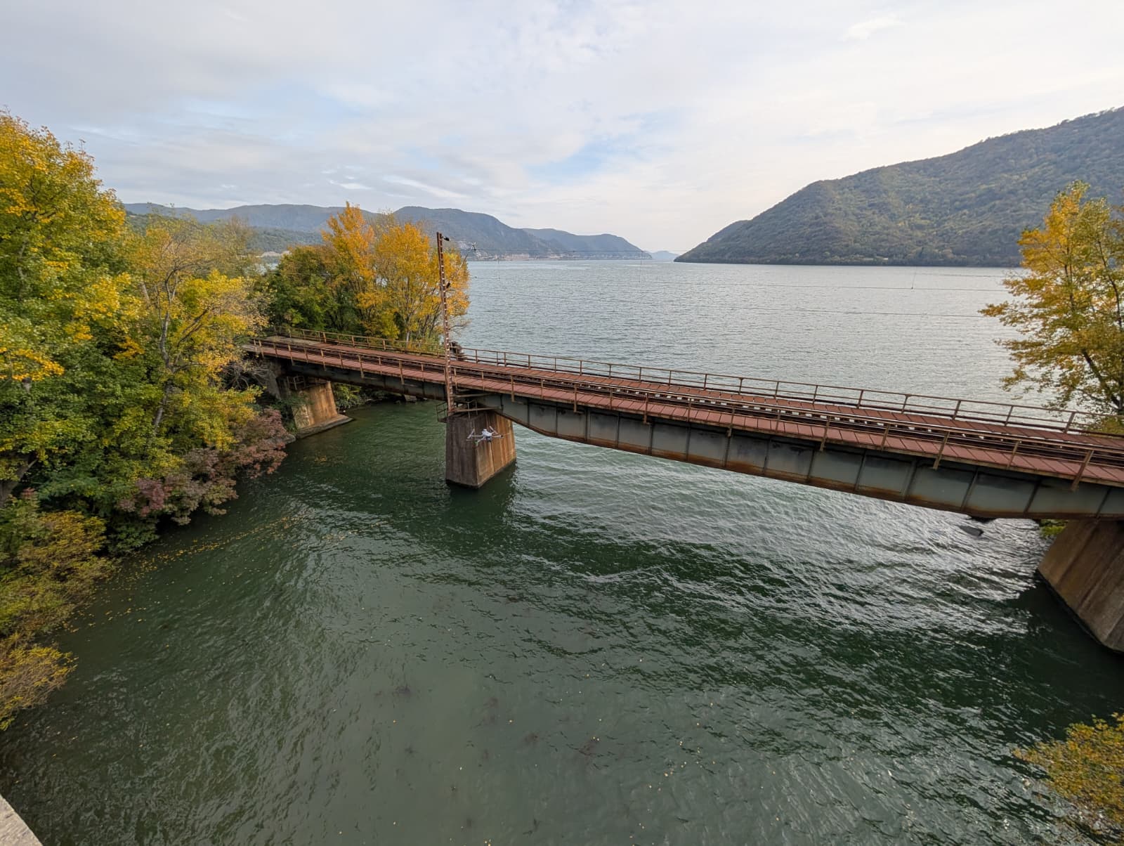
RF jamming at the coastline of the Black Sea.
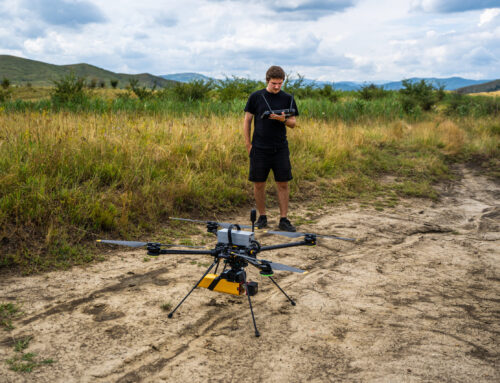
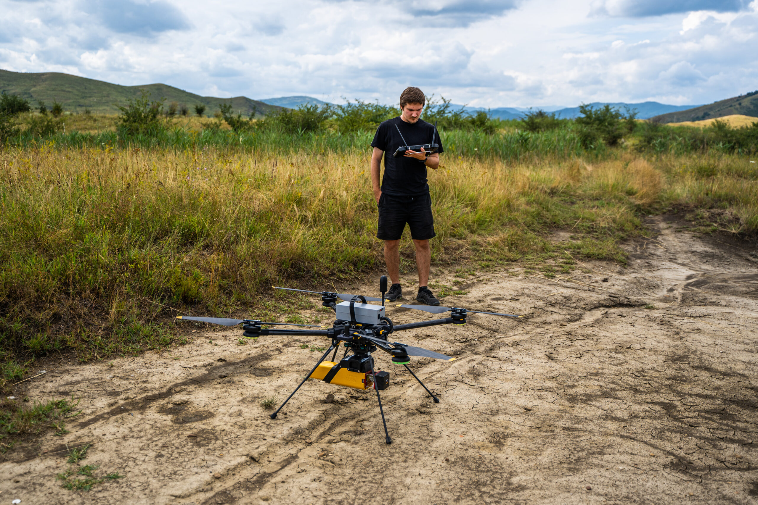
Skyline Drones took part in a large military exercise called Opex24, where we were the only drone company to participate in a practical exercise in scanning terrestrial, coastal and offshore threats.
We used various types of drones, from classic DJI M300 to powerful UAV heavy-lifters like Tundra 2 from Hexadrone and also Trinity Pro VTOL drone from Quantum Systems.
The video feed started to be jammed when we passed over the 50 m height limit and this was also amplified by the distance between the drone and the pilot. The only way to reach out at our subject at 2.6 km away was to stay low as possible, so we maintained a 30m max height to avoid the jamming signal.
With the DJI drones and also with the Tundra 2, which have a video transmission, the signal was delayed, interrupted for a short time and also completely blocked until the drone got out of the heavily disturbed area, the advantage of the Tundra 2 is that the drone works on 3 frequencies and can switch frequencies automatically if one of them has problems rather than 2 like we find on DJI drones.
In the case of the Trinity Pro, which does not output video but only telemetry, there was no such problem, because although the drone uses the same RF frequencies (2.4 GHz), the transmission power can be increased, and a feature of telemetry is that, unlike video, it is a narrowband signal. This allows for a large number of channels, which also limits interference.

GPS jamming near the border with Ukraine
Another place where our team flew was Histria in Constanța County, much closer to the Ukrainian border, and this was very noticeable during our flight missions.
This time the GPS system was affected by the jamming effect in several ways.
- On the DJI drones, the number of sats dropped to 12-16, and sometimes it went from 0 to 15 in a second, so a big fluctuation. The automatic missions were canceled whenever the drone flew in a zone where the jammed signal was strong, and you could not perform the missions even with the RTK base station.
- Hexadrone’s Tundra 2, minimal satellite problems, two GPS antennas that can constantly communicate with each other and calculate the drone’s course and heading when the compass is disturbed, helped a lot in this disturbed environment.
- Trinity Pro from Quantum Systems – average satellites issues. Mapping at 120m altitude caused severe GPS interference, a third of a huge area had no GPS data stored in the photos when we ran the PPK process. Even though the GPS was jammed completely one time, the drone used the magnetometer and IMU system to return to the direction of the return-to-home coordinate, which is an important function in this type of environment.

Residual GPS Jamming Signal in areas that are further than the high jammed areas.
Yes, the jamming signal may extend much further than we expected, and in the attached photo we can see yellow areas and also green areas near them that may also be affected, but the effect of this signal transforms from a real-time GPS jamming signal that can be detected in telemetry to a minor, almost invisible error in accuracy mapping. This can only be detected after processing and comparison with GCPs taken at ground level with GNSS receivers such as the Emlid RS3.
In a project with recurring high-altitude flight missions in mountainous areas, we found that the RTK accuracy of our drones steadily decreased compared to GCPs on the ground over a period of one and a half years.
We also tried to apply the PPK method to increase the accuracy, but the improvement was small. This showed us that the problem lies with the drone/rover, which has errors in the GPS observation data. Also, the GNSS receiver, in our case the Emlid RS2, is not affected by the jamming signal as it is at ground level and also has multiple bands to collect more data from multiple constellations.
In this case, we need to use more GCPs in our project to improve the accuracy, especially if it is an area with high and different altitudes

Tips and tricks for flying in jammed areas.
- If possible, fly below the jamming level. Determine the maximum altitude at which the drone is not affected, and fly below this altitude.
- Don’t panic if the drone switches to attitude mode, the drone will still determine the altitude using the barometer, but it will slowly drift into the wind if the pilot gives no input. In most cases the GPS signal will recover as the jamming signal is not as strong in all directions. Try to reduce the altitude slowly. DJI drones also have a positioning system that does not use GPS to hold the horizontal position.
- If you are mapping, check your GPS data before you leave the area. Also use GCPs to check the accuracy of the flight. In some difficult cases, the GPS data is missing or is incorrect. In this case, we can use the GCPs as 3D points in our processing software like Pix4D Mapper.
- Check the area where you are, using https://gpsjam.org/. Even if the information is not available in real time, you can estimate whether you are in a potentially disturbed area.

For other similar articles, you can click here.


