
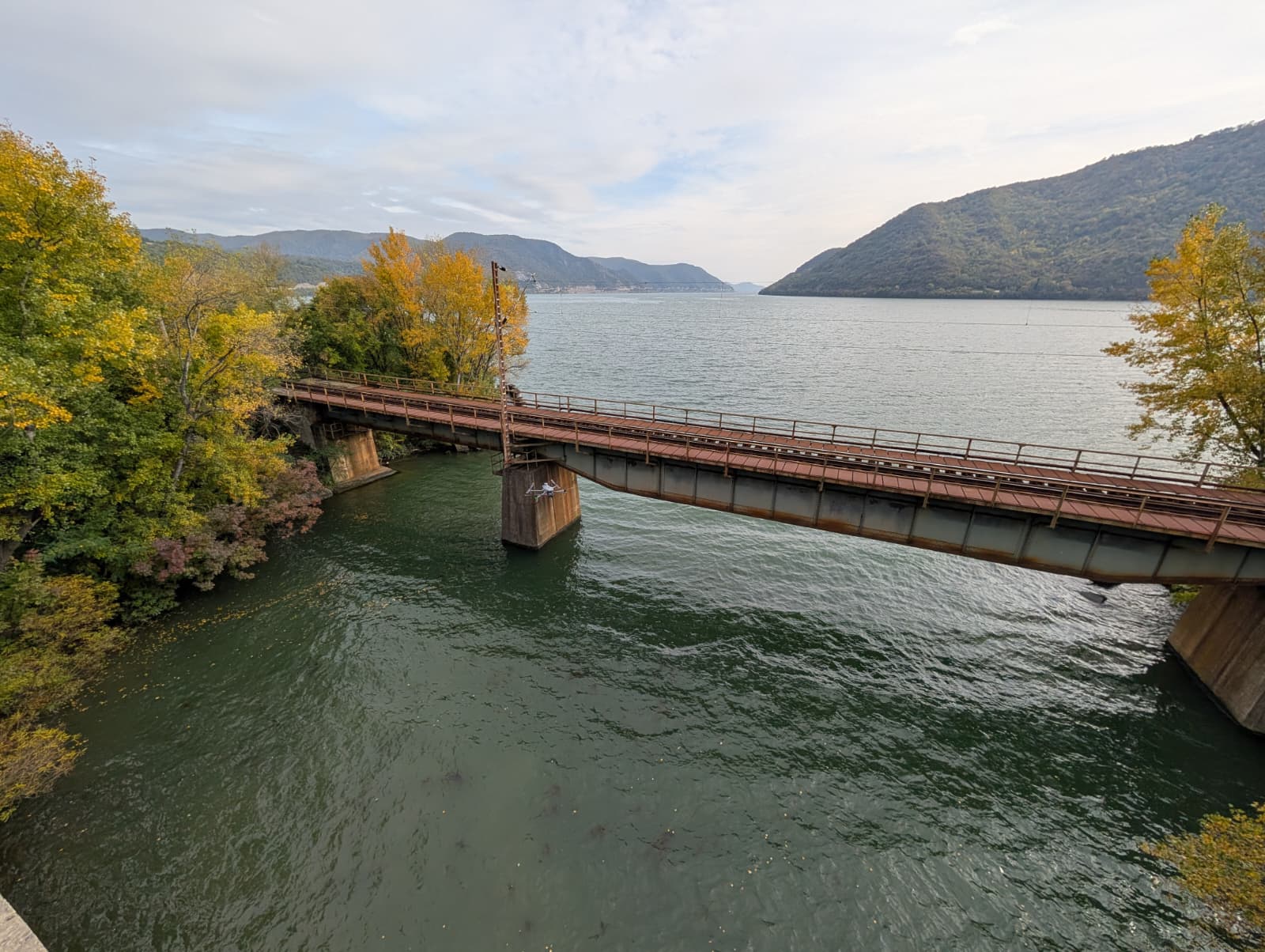
A persistent challenge in topographic surveys is acquiring continuous data across the transition zone where a steep landmass meets a body of water. Surveyors typically rely on a combination of standard drone-based LiDAR for the terrestrial topography and a USV for the deeper underwater terrain. However, this dual-method approach inherently creates a blind spot at the water’s edge.
This transitional space, meaning the shallow water zone between the dry shore and the navigable channel, is difficult to map physically and technically. Relying on interpolation to fill this data gap often results in significant vertical inaccuracies. This case study details how drone-based bathymetric LiDAR, specifically the YellowScan Navigator, provides a direct solution for continuous shallow water mapping.
The Problem: Data Gaps in Shallow Water
In our recent survey scenario, a steep terrain descended directly into a river. Generating an accurate, continuous 3D digital terrain model (DTM) requires data spanning from the upper slope down to the riverbed. Traditional survey methods presented two distinct limitations:
-
Terrestrial LiDAR Constraints: Standard topographic LiDAR systems operate using a near-infrared laser. This wavelength is highly absorbed by water or reflected off its surface, meaning it captures the terrestrial slope accurately but yields no sub-surface data.
-
Vessel Draft Limitations: Deploying a USV to map the riverbed is standard practice, but is restricted by its minimum draft. It cannot safely navigate into the rocky shallows near the shoreline.
Consequently, a critical data gap forms exactly where the water meets the land. In applications such as erosion monitoring, flood modeling, or volumetric calculations, interpolating the underwater slope in this zone can introduce errors of up to a meter, compromising the integrity of the entire dataset.

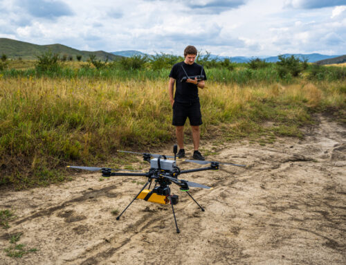
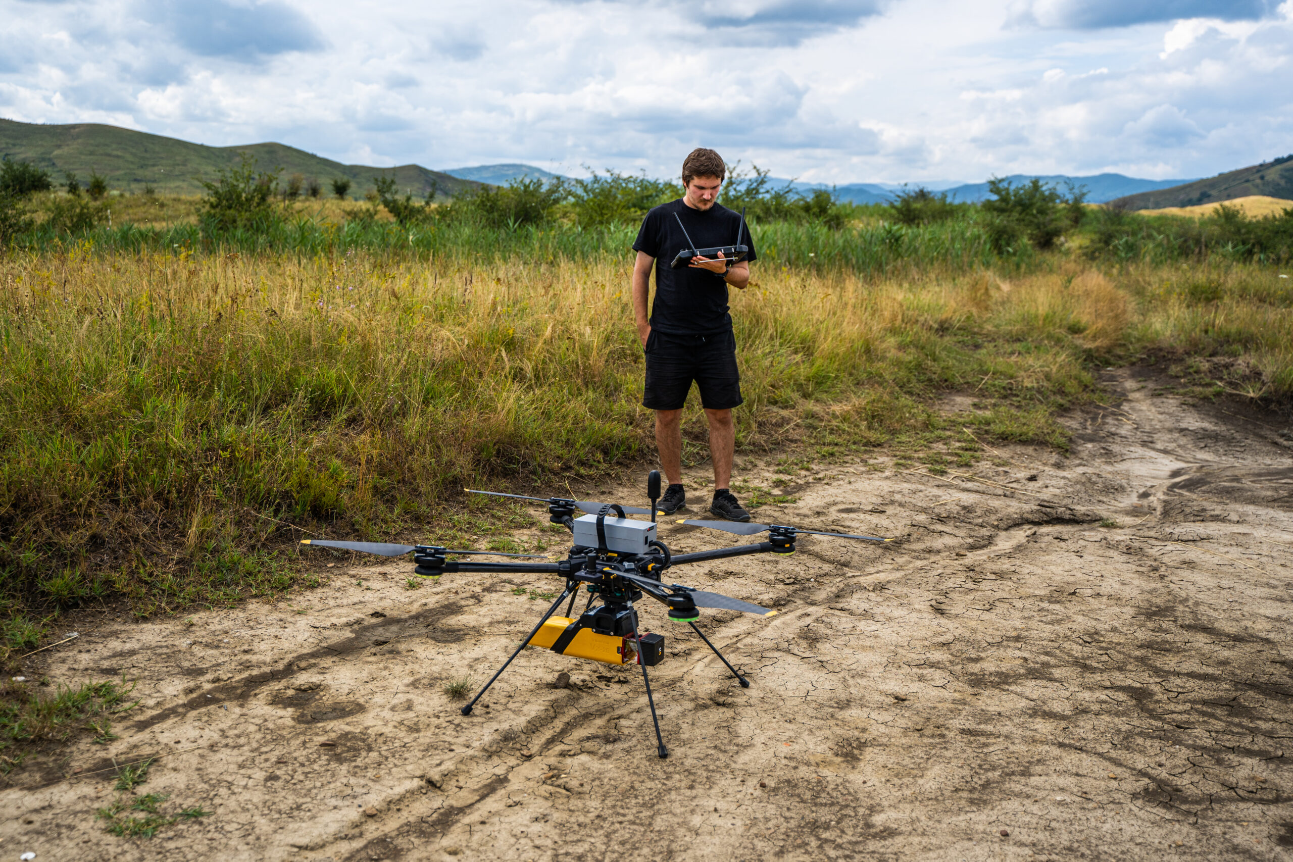
YellowScan Navigator
To capture the transition zone accurately, the operation requires bathymetric LiDAR. For this specific survey, we utilized the YellowScan Navigator, a compact system engineered for UAV integration.
Unlike terrestrial scanners, the YellowScan Navigator utilizes a specialized green laser operating at a 532 nm wavelength. The primary physical characteristic of this specific wavelength is its ability to penetrate the water column. As the drone traverses the shoreline, the sensor records two primary returns: the initial reflection from the water’s surface and the secondary reflection from the riverbed.
By calculating the time differential between these returns and adjusting for the refraction index of water, the system determines the precise depth, capturing data even in shallows measuring only a few centimeters.

Continuous Topo-Bathymetric Data Acquisition
Deploying a UAV-mounted bathymetric LiDAR system streamlines the data acquisition process and removes the need to merge disparate terrestrial and sonar datasets.
-
Unified Flight Plan: The drone executes a continuous flight path, moving from the terrestrial slope, across the shoreline, and over the shallow water zone.
-
Simultaneous Capture: The sensor maps the dry terrain and seamlessly continues to record the underwater topography without operational interruption.
-
High-Density Output: The resulting point cloud provides a high-density, accurate 3D model. By eliminating the need for manual interpolation, the system maintains strict vertical accuracy across the entire land-water interface.
Operational Impact
Utilizing the YellowScan Navigator for shallow water mapping successfully resolves the missing data zone between land and deep water.
By capturing a continuous topo-bathymetric dataset, engineering teams can accurately assess shoreline erosion and perform precise volumetric calculations based on measured data rather than estimates.

The team at Skyline Drones specializes in executing these demanding topo-bathymetric surveys. By combining experienced UAV flight operations with deep technical knowledge of LiDAR point cloud classification and water refraction correction, Skyline Drones ensures the hardware performs at its peak.
Whether navigating challenging riverbanks, coastal environments, or critical infrastructure zones, the Skyline Drones team delivers the continuous, high-accuracy digital terrain models required for confident engineering and environmental analysis.


