

In railway infrastructure, bridges are critical elements that support years of traffic and constant vibrations.
To understand how such a structure changes as a whole, the Skyline Drones team carried out a complex project, unique in Romania: the first fully integrated inspection of a railway bridge, combining LiDAR scans, RGB images, bathymetric measurements and underwater visual inspections.
The goal was to obtain a complete, three-dimensional, and accurate picture of the actual condition of the bridge.
Bathymetric dimension
The first stage of the project focused on the area where the bridge pillars are anchored in the riverbed. Although seemingly calm, this area is subject to continuous erosion caused by currents and flow variations.
Using aquatic bathymetry, Skyline Drones mapped the depths and variations in the underwater relief, focusing on the area around the pillars.
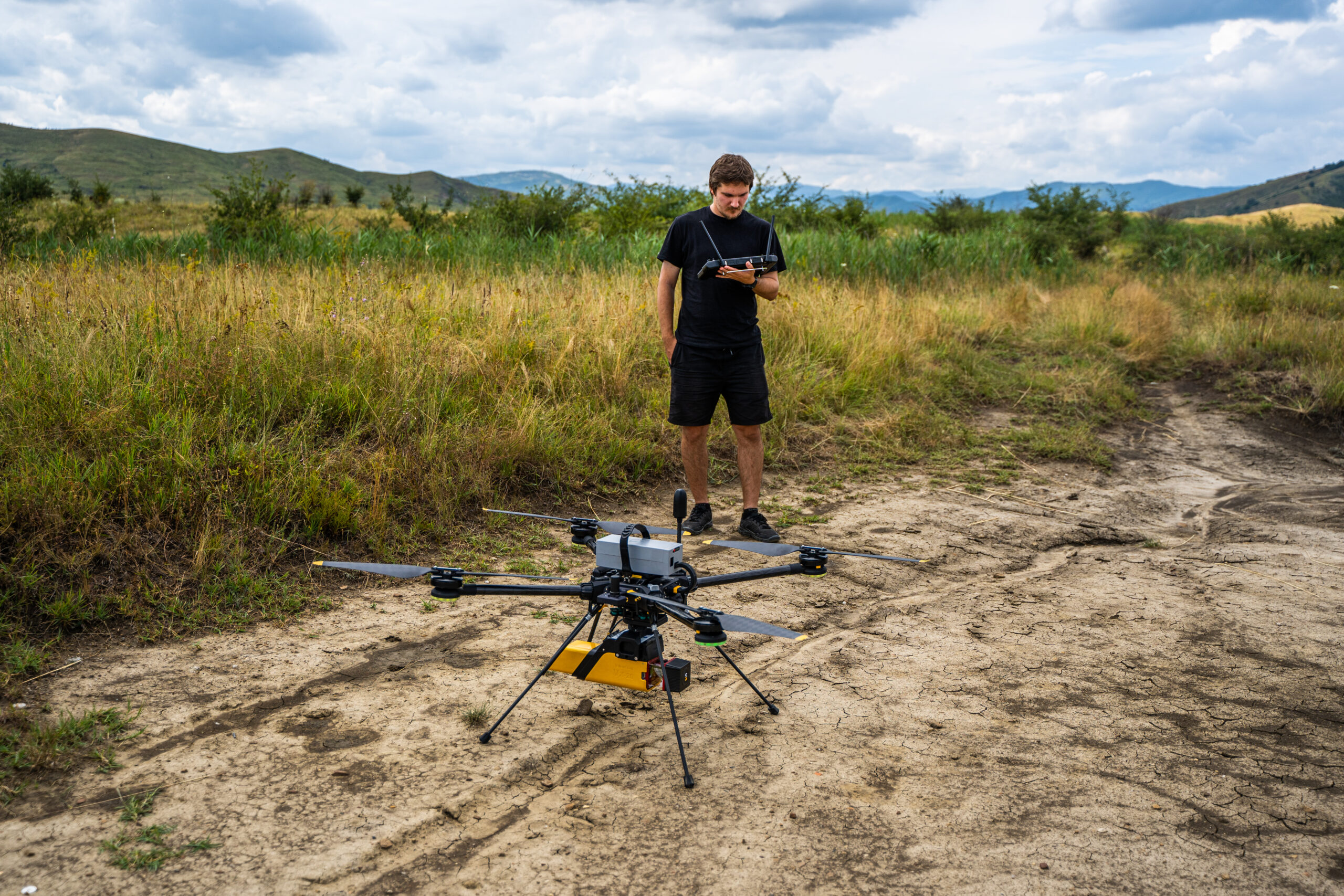
The equipment used navigated along the viaduct, collecting point-by-point data over distances between 1 and 7 km. Using a combination of USV platforms, LiDAR systems, GNSS positioning and RGB sensors, the mission captured both submerged and above-water features with high spatial accuracy.
The result was a set of bathymetric maps, cross-sectional profiles and aquatic elevation models that illustrate how the terrain and underwater morphology evolve over time.
This analysis provides a solid scientific basis for assessing scour risks (local erosion), which is essential for the long-term safety of the foundations.

Structural dimension
In the second stage, attention shifted from the water to the upper part of the bridge. The goal: a complete Digital Twin reconstruction of the structure.
Using LiDAR technology, the team obtained a centimeter-accurate three-dimensional model of the bridge, a Digital Twin that faithfully reproduces every pillar, beam, and metal element.
This model allows for accurate measurements, real-time monitoring and the detection of millimeter deviations in geometry.

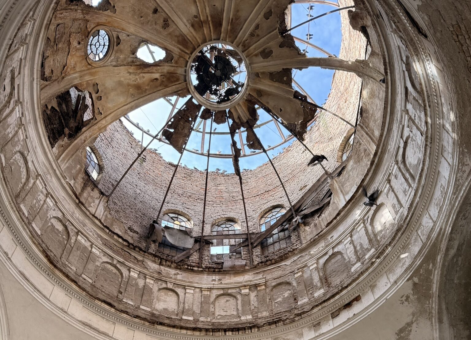
In addition, RGB images provided a visual perspective on the condition of the materials: rust, cracks, vegetation near the railroad tracks, and biological deposits.
The combination of LiDAR + RGB led to a correlation between geometry and visual reality, generating a detailed database for maintenance and scheduled interventions.

This stage represented a defining moment: the first creation of a Full Digital Twin for a railway bridge in Romania, a tool that allows the simulation of structural behavior and the comparison of evolution over time.
Underwater dimension
The third stage took the inspection even further, underwater.
Here, autonomous underwater systems (ROV) explored the submerged foundations of the pylons, where erosion and corrosion can act slowly but decisively. Through high-resolution video recordings, the Skyline Drones team was able to directly observe the concrete surface, identifying areas with potential erosion. In parallel, an extensive orthophoto map of the viaduct corridor completed the analysis, providing an integrated view of what lies underwater, on the surface, and around the infrastructure.

This aerial-aquatic-underwater correlation transformed a local inspection into an applied research project with predictive and documentary value for the entire area analyzed.
Why is this a first for Romania?
The project marks the first integrated 3D multi-media (aerial, aquatic and underwater) inspection of a railway structure in Romania.
The innovation lies mainly in the way the data has been correlated into a single digital ecosystem, a full digital twin that connects the world above and below.
This approach offers:
• a complete picture of structural integrity,
• the ability to monitor developments over time,
• a basis for predictive maintenance and timely intervention decisions,
• and, above all, a new methodology for assessing critical infrastructure in Romania.
By combining these three dimensions, the Skyline Drones team has achieved a landmark interdisciplinary approach in the field of technical inspections.
Skyline Drones continues to push the boundaries of technical inspections, developing integrated solutions that transform the physical, terrestrial, aquatic, or aerial environment into accurate, measurable, and comparable data over time.
This article outlines the integrated perspective of a complex inspection project, showing how aerial, aquatic and underwater data can be correlated into a single, coherent understanding of a railway bridge’s condition. At the same time, each inspection layer tells its own story. For this reason, on the Skyline Drones blog, every component of the project is treated individually: bathymetric analysis, LiDAR and RGB Digital Twin reconstruction and underwater ROV inspection are each explored in dedicated articles, with detailed methodologies, results and technical insights.
Together, they form a complete picture; separately, they offer depth and clarity for professionals interested in a specific inspection technology or application.
