

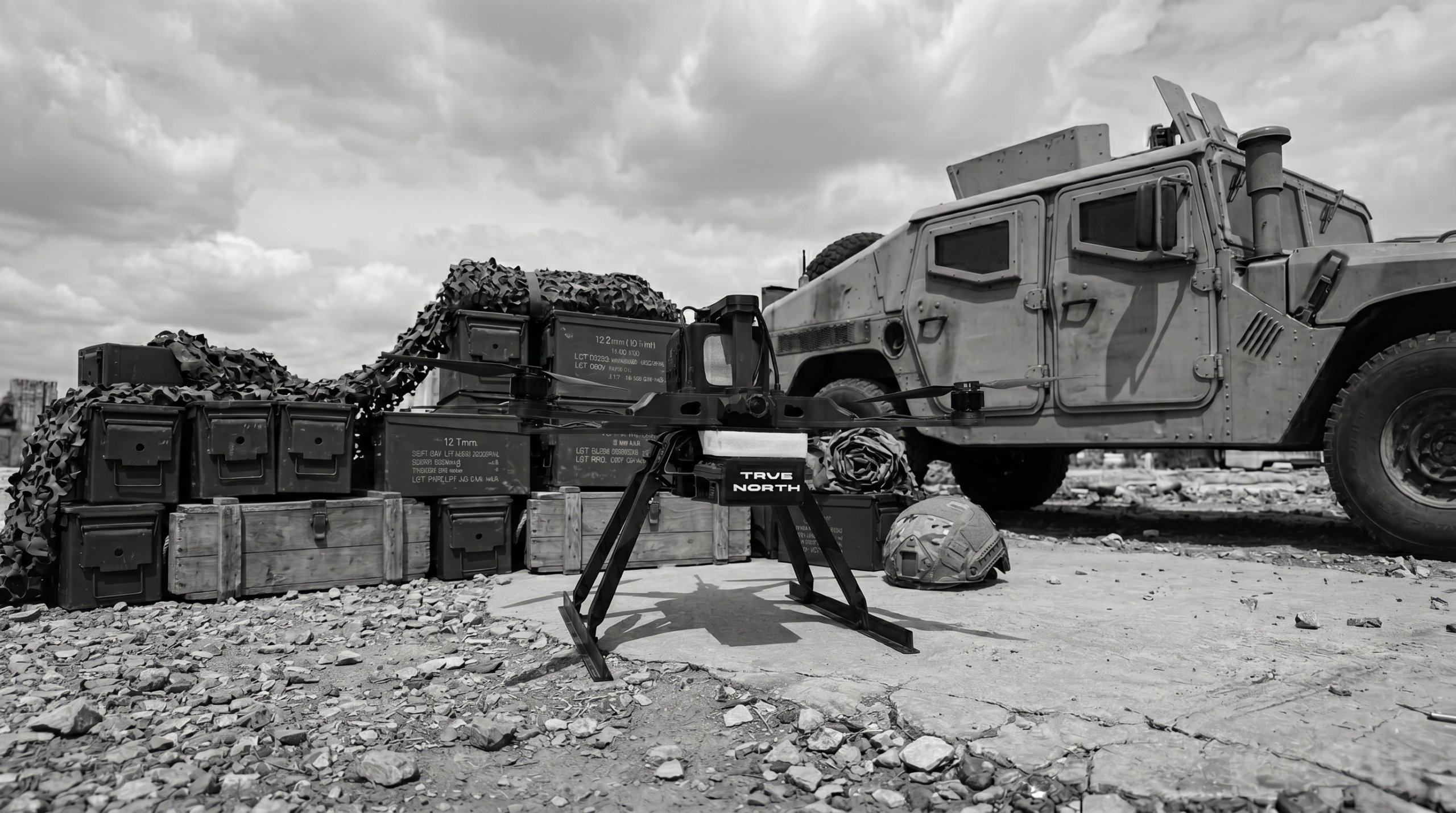
Drone-based underwater inspection
While on the surface the bridge continues to function as it has for decades, deep below, where the water obscures the view, a slow and constant process is taking place: erosion. There, at the boundary between structure and environment, the stability of the foundation is determined. It is precisely this area, invisible and difficult to access by conventional methods, that was the subject of a complex underwater inspection carried out by the Skyline Drones team.
Purpose of the mission
The project aimed to conduct a detailed visual analysis of the pillars below the water level in order to determine the condition of the material, the degree of damage to the structure and the presence of any local erosion (scour) phenomena.
In an area where direct contact is limited by depth and turbidity, the solution was the use of an ROC, un underwater system equipped with high-resolution cameras and orientation sensors, capable of investigating the bridge foundation without direct human intervention.
Methodology
The mission was planned in stages to achieve complete and consistent coverage of the entire structure. The ROV was guided in the vicinity of each pier, following predefined trajectories to capture all relevant angles.
The equipment’s optical system recorded high-clarity sequential images that allowed for analysis of the concrete surface.
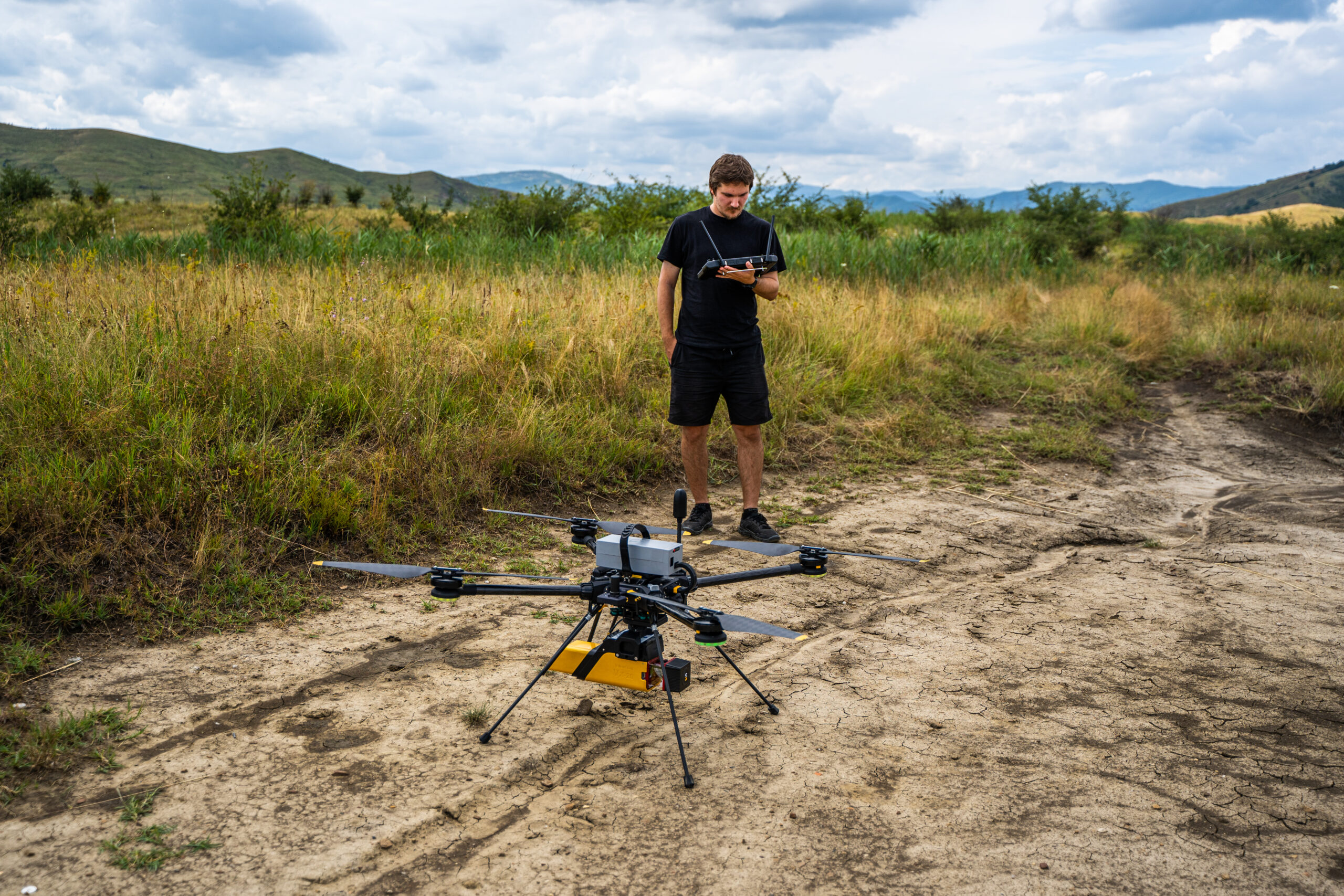
At the same time, the land-based team collected RGB aerial data, which was used to create an extensive orthophoto map of the viaduct corridor. By combining these two data sets, a complete picture of the structure’s condition was obtained, from water level to depth.

Results
The underwater inspection accurately revealed the degree of wear on each pier, the areas where the material had been affected by currents, and colorimetric differences that could indicate biological deposits or corrosion.
The integrated visual model allowed specialists to observe areas of active erosion, which were essential for establishing a maintenance strategy.
The final result was a comprehensive visual report of the submerged foundation, correlated with an orthophoto map of the entire corridor, providing a three-dimensional perspective of the interaction between the structure, water and terrain.
A premiere
This inspection is the first systematic underwater inspection of a railway structure in Romania, carried out using autonomous equipment and digital mapping methodology.
Until now, underwater assessment of bridges was limited to manual diving or partial observations. With this approach, Skyline Drones has demonstrated that technology can provide total visibility of submerged areas, without risk, without interruption, and with a level of accuracy that is impossible to achieve using traditional methods.
The project has highlighted the real potential of drone-assisted underwater inspections, which are becoming an essential tool in predictive infrastructure maintenance.

For a complete view of our infrastructure monitoring project, you can also check out our previous articles on bathymetry and LiDAR with RGB analysis, which complement the perspective on our field studies and integrated mapping methods.
