

Rail infrastructure is built to resist the test of time, but nature has its own subtle mechanisms of transformation. When the foundations of a bridge are located in an aquatic area, currents, water levels and successive deposits can reshape the terrain in ways that are difficult to anticipate. Most of the time, these processes remain invisible until the effects become visible, sometimes too late.
For the beneficiary who requested Skyline Drones’ services, the central question was one of safety: what is happening around the bridge’s in-water pylons and how can these changes be measured without interfering with the structure?
The answer came through a precision bathymetry mission, carried out along the railway viaduct line, covering more than a kilometer. Bathymetry outlines the shape and depth of the water bottom, the area of water immediately adiacent to the structure, where currents and level variations can influence the stability of the foundation.

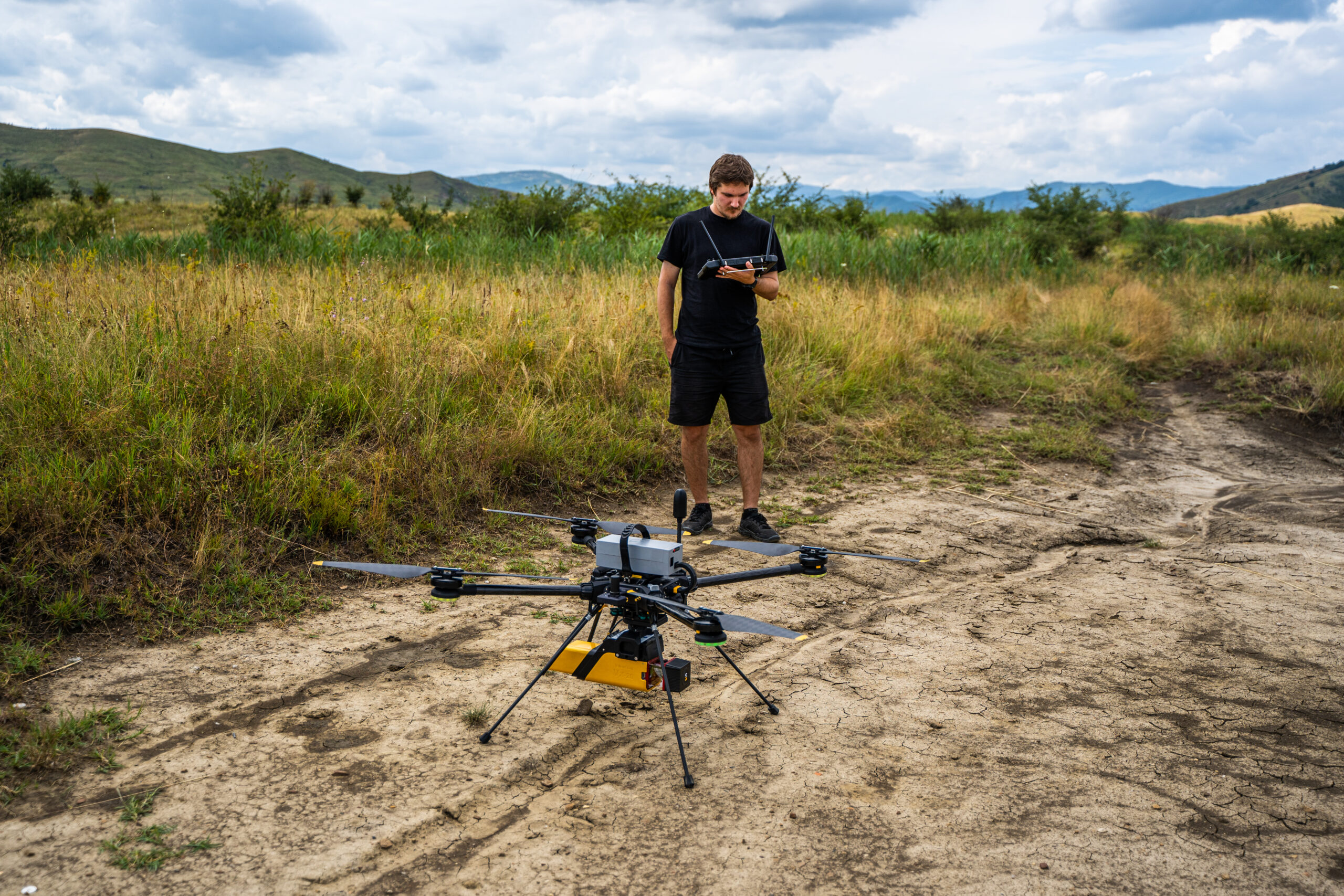
During the mission, the Skyline Drones team operated a specially configured surface platform, an USV, that continuously collected data on depth and underwater elevation variations. Navigating in a controlled manner along the pillars, the system precisely tracked the line of contact between the water and the structure, transforming each measured point into a three dimensional coordinate. Each measured point represented a portion of an invisible underwater relief, which, once processed, was transformed into a three-dimensional bathymetric model of the area. The result was a digital map that accurately shows how the aquatic terrain interacts with the pillars and the distribution of depth along the structure.
A new level of understanding of the aquatic terrain
The bathymetric mapping obtained during this mission highlighted the differences in level around the pillars and possible areas at risk of local erosion, a phenomenon known in civil engineering as scour. By analyzing variations in depth and slope of the aquatic relief, Skyline Drones specialists were able to interpret the behavior of currents and the potential instability of the substrate.
This information provides a dynamic picture of the interaction between water and structure, a picture that cannot be obtained visually, but only through bathymetric measurement.

From inspection to prediction
The mission demonstrated that bathymetry can go beyond simple mapping and become a predictive tool. By correlating the data obtained now with possible future measurements, erosion trends, sediment accumulation, and depth changes can be identified that, over time, may influence the stability of the foundation.
The beneficiary now has a complete set of measurable data, which transforms an inaccessible aquatic area into a space that can be analyzed and monitored over time. This approach reduces maintenance costs, optimizes intervention planning, and directly contributes to increased railway safety.
A bathymetric inspection performed with an USV provides a set of outputs essential for the assessment and monitoring of aquatic-submerged areas:
- a detailed model of the bottom profile,
- accurate depth measurements,
- calibrated cross-sections
- updated volumetric analyses.
These results provide an up-to-date technical picture of actual terrain conditions and form the basis for maintenance, dredging, periodic checks, engineering interventions, or hydrotechnical planning.

Premiere
This mission represents the first bathymetric inspection dedicated to Romania’s railway infrastructure, a pioneering project in which the aquatic area was rigorously analyzed using completely non-intrusive means.
The Skyline Drones team has introduced a methodology that combines the mobility of autonomous platforms with the accuracy of bathymetric measurements, opening a new chapter in the monitoring of structures located in aquatic environments.
Through this approach, Romania is aligning itself with modern international practices for assessing critical infrastructure, bringing bathymetry to the forefront as an essential tool for predictive maintenance and hydrotechnical risk management.
The Skyline Drones team conducts advanced technical inspections, both aerial and aquatic, with the goal of transforming infrastructure into accurate and interpretable data.
