

Precision agriculture just took a major leap forward for Romanian farmers and agribusiness professionals. Thanks to the collaboration between Skyline Drones, La Orizont, and PIX4D, the revolutionary PIX4Dfields software is now available in the Romanian language. This partnership underscores our commitment to making cutting-edge technology accessible and practical for the local market.

What Is PIX4Dfields?
PIX4Dfields is a state-of-the-art software designed specifically for the agriculture industry. It transforms drone-captured data into actionable insights, enabling users to optimize crop yields, monitor fields with precision, and streamline farm management processes. With its advanced mapping and analysis tools, PIX4Dfields empowers farmers to make informed decisions that save time, reduce costs, and improve productivity.

About Skyline Drones and La Orizont
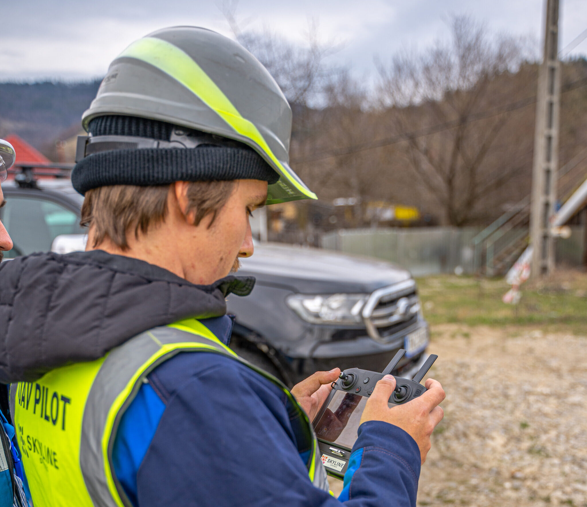
Skyline Drones: provider of professional services in precision agriculture, oil industry renewable energy, utilities (power lines, water supply etc), telecommunications, mining, construction and infrastructure.
La Orizont: Distribuitor of professional solutions involving drones in the industrial and government sectors, with partners such as Quantum Systems, YellowScan, Hexadrone, Acceore Technologies, DJI, Phase One, Micasense, Emlid, Terra Inspectioneering, Flyiability, Pix4D, Agremo, Skyqraft, etc.
Key Features of PIX4Dfields
- Real-Time Mapping: Generate field maps instantly to act quickly during critical decision-making moments.
- Advanced Analytics: Visualize vegetation indices such as NDVI and NDRE for detailed crop health monitoring.
- Flexible Outputs: Export maps and insights in multiple formats to integrate seamlessly with farm management software.
- Offline Functionality: Continue working even in areas with limited internet connectivity.
- Compatibility with Drones: Works effortlessly with popular drone models like DJI and Quantum-Systems, ensuring versatility.
Why Romanian Localization Matters
Language should never be a barrier to innovation. By making PIX4Dfields available in Romanian, this partnership opens the door for even more farmers, agronomists, and agricultural businesses to harness the power of drone technology. Localizing the software means:
- Enhanced Usability: Farmers can now navigate the interface and understand the features in their native language.
- Broader Accessibility: More professionals in rural areas can confidently adopt this advanced tool.
- Customized Support: Localized documentation and tutorials simplify onboarding and ensure users get the most out of the software.
Applications of PIX4Dfields
From large-scale commercial farms to smaller agricultural operations, PIX4Dfields has proven its value in:
- Crop Monitoring: Identify areas of stress, pests, or diseases before they spread.
- Yield Prediction: Use data-driven insights to forecast and maximize harvests.
- Irrigation Management: Pinpoint areas needing water and optimize resource allocation.
- Field Mapping: Generate accurate, high-resolution maps for planting and harvesting strategies.
Experience the Future of Agriculture
The collaboration between Skyline Drones, La Orizont, and PIX4D is more than just a partnership—it’s a step toward empowering Romanian farmers with cutting-edge technology. PIX4Dfields’ Romanian version ensures that innovation reaches every corner of the agriculture industry, simplifying operations and boosting productivity.
Are you ready to take your agricultural practices to the next level? Visit La Orizont‘s website to learn more about PIX4Dfields and explore our range of professional drones and services. Don’t forget to check out our blog for more insights and updates from the world of drone technology!


