

Drones, also known as unmanned aerial vehicles (UAVs), have evolved considerably in recent years, transforming the way we explore, map and monitor our environment. One of the key technological innovations that has revolutionized the use of drones is LiDAR technology.
In this article we will see what the term LiDAR means, how this technology works, some of the applications of this combination of technologies and a comparison of its advantages/challenges.

What is LiDAR technology?
The term LiDAR, an acronym for “Light Detection and Ranging,” refers to a sensing technology that uses lasers to measure distances and create three-dimensional maps of the environment.
In the case of drones, LiDAR is often used to obtain accurate information about the land surface and objects on it.
How does LiDAR technology work?
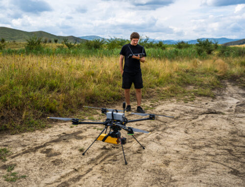
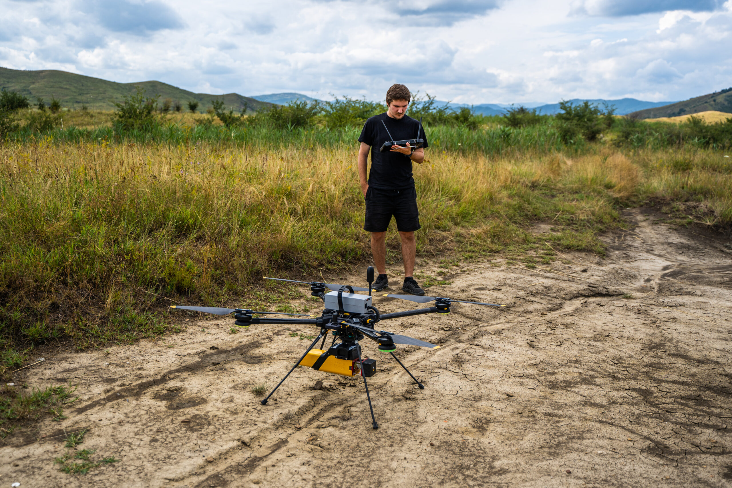
Professional drones can be equipped with system payloads with LiDAR technology. These LiDAR systems emit laser beams to the ground surface. The laser beams are reflected back to the LiDAR sensors, and the time it takes for each beam to return is precisely measured.
By analyzing this data, obtained from the drone, the drones can create detailed maps of the terrain and identify objects on the scanning surface.

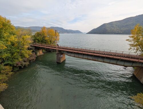
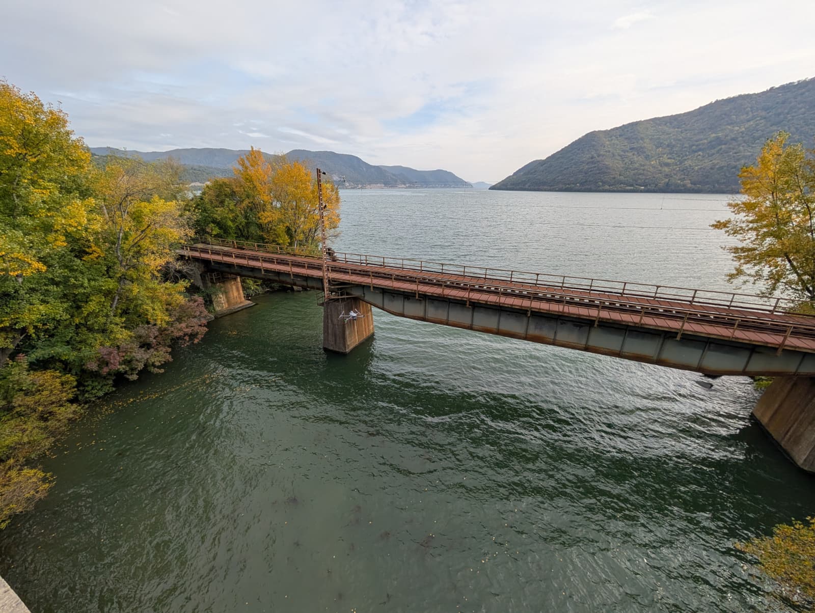
Data collected with YellowScan’s Fly&Drive LiDAR system
Applications of drones with LiDAR technology
Professional drones are particularly useful tools in a very wide range of applications and fields, and combined with LiDAR systems, they bring particularly precise results to any project.
Some applications where the two are particularly useful are:
Topographic and Geodetic Mapping
LiDAR provides accurate elevation and relief data essential for detailed topographic mapping.
It replaces or complements traditional mapping methods, providing faster and more accurate results.
Management of Forests and Natural Resources
Drones with LiDAR can assess vegetation density and detect changes in forest structure.
Used in monitoring natural resources and forest fire risk.
Archeology and Detection of Historic Sites
LiDAR technology can penetrate dense vegetation, revealing terrain details that may indicate underground archaeological sites.
It helps document and protect cultural heritage.
Urban Planning and Territorial Planning
Drones with LiDAR can provide accurate data on building height, urban topography and spatial distribution.
Used in urban design and effective spatial planning.
Monitoring Changes in the Environment
It identifies and tracks changes in the land surface caused by factors such as landslides or natural changes in water courses.
It contributes to the management of natural risks.
Object detection
LiDAR technology can identify and detect objects such as trees, vegetation or other elements that can affect power lines. This detection capability helps prevent incidents and preventive maintenance.

Advantages and Challenges
LiDAR systems are an innovation that allows scanning even at night, but it is not suitable for every project. Next we can see what are three advantages and two disadvantages of drones with LiDAR.
Benefits:
- High Accuracy: Provides data with exceptional accuracy compared to other technologies.
- Efficiency and Speed: Scan and collect data quickly, enabling extensive mapping in a short time.
- Versatility: Can be used in various fields, from agriculture and forestry to urban planning and conservation.
Challenges:
- Cost: LiDAR technology is suitable for a wide range of projects, but there may be cases where the cost of such technology does not lend itself to smaller applications where precision and accuracy are not critical factors.
- Environmental Sensitivity: LiDAR accuracy can be affected by factors such as fog, rain or surface reflectivity.
Conclusion
Drones equipped with LiDAR technology represent a new paradigm in geospatial data collection and analysis. With varied applications and notable advantages in terms of precision and efficiency, these drones open new horizons for research, planning and conservation. Despite all the challenges, continued progress in this field suggests that LiDAR technology will play a vital role in the future of environmental exploration and natural resource management.
f you want to know more about LiDAR technology and the fields in which it finds applicability, see this article: Complete LiDAR System Comparison: YellowScan Ultra 3 Versus DJI Zenmuse L2


