

In today’s rapidly evolving technological landscape, drones have emerged as indispensable tools across a wide range of industries. No longer limited to recreational use, these sophisticated devices are revolutionizing how businesses operate, offering efficiency, precision, and safety in ways previously unimaginable. From agriculture to security, drones are not just an accessory—they’re a necessity. Here’s why you should consider integrating drones into your operations across various industries.
1. Precision Agriculture: Maximizing Crop Yields and Efficiency

Precision agriculture is all about optimizing crop production, and drones are key to this transformation. Equipped with multispectral sensors and high-resolution cameras, drones can monitor crop health, analyze soil conditions, and even assist in precision spraying. By capturing detailed aerial imagery, farmers can identify areas that need attention, reducing waste and increasing yield.
Example: The DJI Agras T50 and Mavic 3 Multispectral are designed for agricultural use, offering precision spraying capabilities, real-time monitoring, and data analysis. These drones help farmers make informed decisions to enhance productivity and reduce costs.
2. Renewable Energy: Enhancing Inspection and Maintenance
The renewable energy sector, particularly wind and solar, requires regular inspection and maintenance to ensure optimal performance. Drones equipped with thermal cameras and LIDAR sensors can inspect solar panels and wind turbines with precision, detecting issues like hotspots or physical damage that could lead to inefficiencies or failures.
Example: The DJI Matrice 350 RTK, with its advanced imaging sensors and AI capabilities, is ideal for inspecting wind turbines and solar farms, providing accurate data to prevent costly downtime.
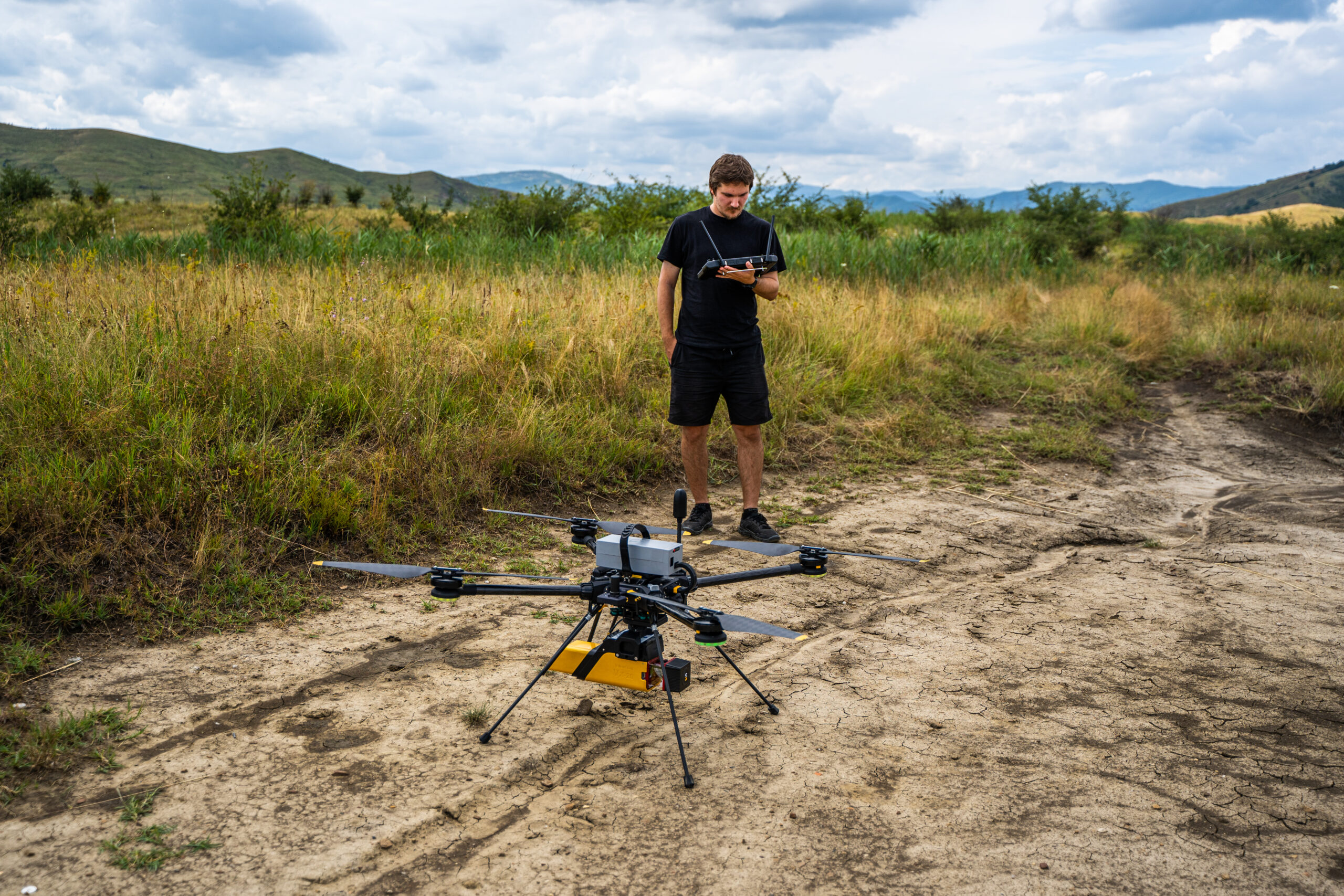
DJI Matrice 350 RTK is ideal for LiDAR inspections of powerlines, especially when paired with advanced sensors such as those from YellowScan. This combination provides highly accurate 3D data, enabling detailed analysis and monitoring of powerline infrastructure. The Matrice 350 RTK’s robust design and extended flight time make it well-suited for comprehensive inspections across vast areas, enhancing the safety and efficiency of powerline maintenance.
For RGB inspections of wind turbines and current poles, the DJI Matrice 350 RTK with the Phase One camera or the DJI P1 sensor is an excellent choice. These high-resolution cameras capture detailed images of turbine blades and pole structures, helping to identify wear and damage with precision. The Matrice 300 RTK’s advanced imaging capabilities and obstacle avoidance ensure safe and effective inspections in challenging environments.
The DJI Zenmuse H20/H20T is an excellent choice for photovoltaic (PV) panel inspections, particularly with its advanced thermal imaging capabilities. The H20T model features a high-resolution thermal camera that allows for precise detection of hotspots and inefficiencies in solar panels. By combining thermal imaging with a 20MP visual camera, this drone provides comprehensive data to ensure optimal performance and maintenance of solar energy systems. The H20T’s integrated sensors and AI-driven analytics help quickly identify and address potential issues, minimizing downtime and enhancing the reliability of solar installations.
3. Utilities: Streamlining Infrastructure Inspection
Utility companies manage vast networks of infrastructure, including power lines, pipelines, and substations. Traditionally, inspecting these assets is time-consuming and risky. Drones offer a safer, faster alternative, enabling detailed inspections without the need for technicians to physically access hazardous locations.
Example: The DJI Mavic 3 is a versatile drone well-suited for utility inspections. With its dual-camera system, including a high-resolution 20MP Hasselblad camera and a 12MP telephoto camera, the Mavic 3 offers detailed imagery of power lines, pipelines, and substations. Its long battery life and advanced obstacle sensing make it ideal for covering extensive infrastructure networks safely and efficiently. The Mavic 3’s ability to capture precise visual data allows utility companies to detect potential issues early, reducing the need for risky manual inspections and ensuring uninterrupted service
4. Oil and Gas: Improving Safety and Efficiency

The oil and gas industry operates in some of the most hazardous environments. Drones can conduct inspections of pipelines, offshore rigs, and refineries without putting human lives at risk. They provide real-time data and can cover large areas quickly, ensuring that potential issues are identified before they escalate.
Example: The UT Drone is highly regarded for its advanced imaging capabilities, making it an excellent choice for environmental monitoring. With its extended flight time and high-resolution sensors, the UT Drone can efficiently cover large areas, capturing detailed data on vegetation health, water quality, and other environmental factors. This capability allows organizations to monitor and analyze ecosystems with exceptional precision and efficiency, ensuring accurate and reliable data for effective management and conservation.
5. Civil Construction: Revolutionizing Project Management
In civil construction, drones are becoming essential for site surveys, progress monitoring, and even in creating 3D models of construction sites. They offer unparalleled accuracy, allowing project managers to make informed decisions, reduce errors, and keep projects on schedule and within budget.
Example: The DJI Mavic 3 Enterprise is highly valued for its exceptional accuracy in surveying and mapping. With its 56x zoom camera and RTK module, this drone provides construction managers with detailed aerial data, ensuring precise measurements and reducing the risk of errors in large-scale civil construction projects. Its compact design and advanced obstacle sensing further enhance its utility on busy construction sites.
6. Confined Spaces: Enhancing Safety in Challenging Environments

Inspecting confined spaces like storage tanks, pipelines, and underground mines presents significant challenges and risks. Drones specifically designed for confined spaces can navigate these environments, capturing high-resolution imagery and data that would be difficult or dangerous for humans to obtain.
Example: The Elios 3, with its collision-tolerant design and 3D mapping capabilities, is a go-to drone for inspecting confined spaces, ensuring safety and efficiency.
7. 3D Digital Twin and Virtual Tour: Bringing Spaces to Life
Creating 3D digital twins and virtual tours is becoming increasingly popular across industries, from real estate to industrial design. Drones capture high-resolution images and videos that are then used to create immersive virtual models of physical spaces, enabling remote inspections, planning, and even virtual tourism.
Example: The DJI Mavic 3 Enterprise, with its high-resolution camera and mapping capabilities, is ideal for creating detailed 3D models and virtual tours, offering an immersive experience of any environment.
8. Environmental Monitoring: Protecting Ecosystems with Precision

Environmental monitoring is crucial for conservation efforts, and drones are making this task more effective and less intrusive. They can track wildlife, monitor deforestation, assess the health of ecosystems, and even detect illegal activities like poaching or logging, all without disturbing the environment.
Example: The DJI Matrice 350 RTK is highly regarded for its extended flight time and advanced multispectral imaging capabilities, making it an excellent choice for environmental monitoring. This drone can cover vast areas, capturing detailed data on vegetation health, water quality, and other environmental factors, helping organizations monitor ecosystems with precision and efficiency.
Hexadrone’s Tundra 2 is a versatile and rugged UAV designed to excel in harsh environments, making it an ideal tool for environmental monitoring. Built with a modular and durable design, the Tundra drone can be customized with a wide range of sensors and payloads to suit different monitoring tasks. Its rugged construction ensures reliable performance in harsh conditions, whether surveying remote forests, monitoring water quality or assessing wildlife habitats.
When combined with YellowScan’s LiDAR products, the Tundra drone becomes an even more powerful asset for environmental monitoring. The combination of YellowScan’s high-precision LiDAR sensors with the extended flight time and stability of the Tundra drone allows for the efficient capture of detailed 3D topographic topographic data. This is essential for applications such as mapping vegetation density, monitoring coastal erosion and assessing changes in forest structure.
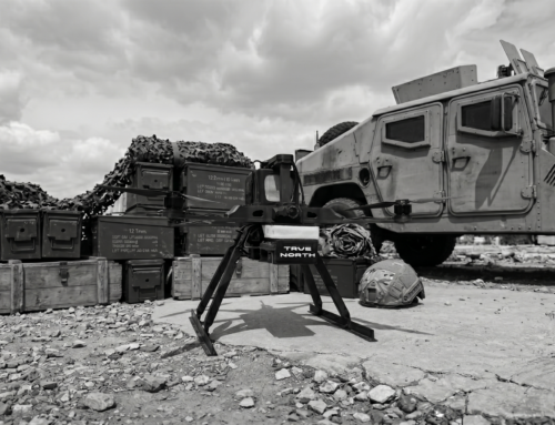
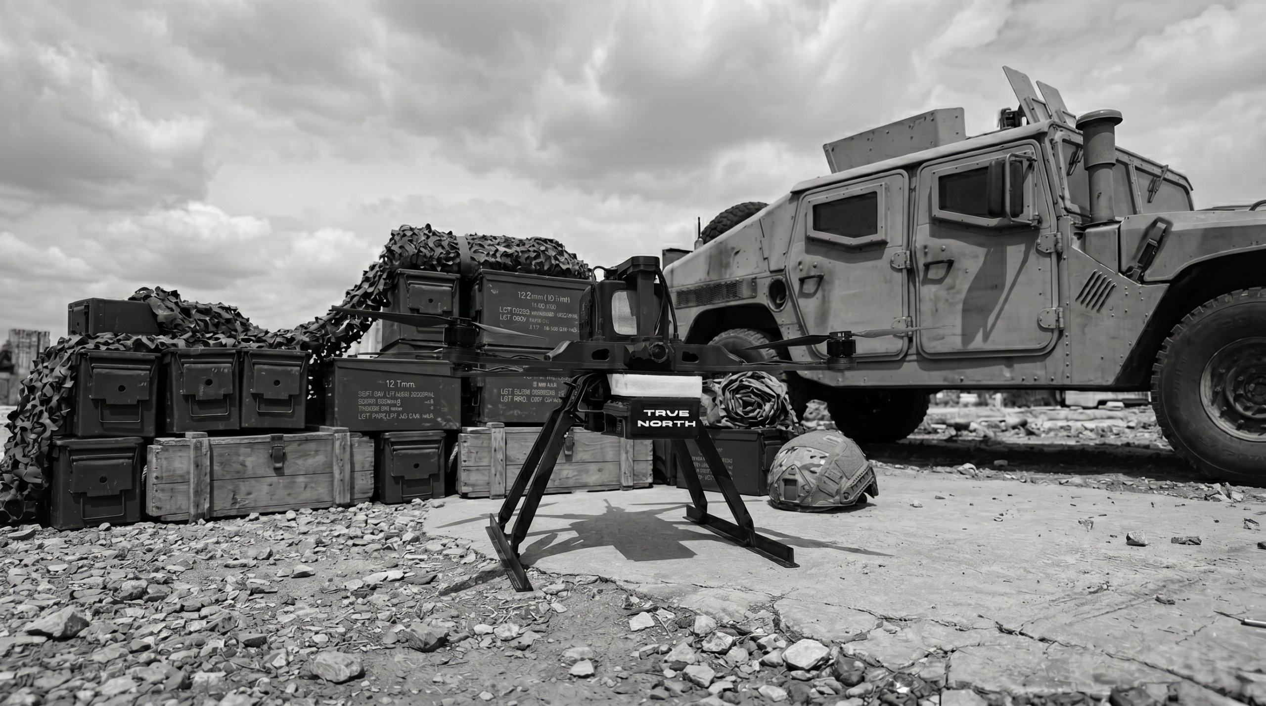
9. Surveillance and Security: Enhancing Safety from Above

In the realm of surveillance and security, drones offer a significant advantage by providing real-time aerial views, enhancing perimeter security, and monitoring large events or sensitive areas. They can be deployed quickly and cover areas that would be challenging to monitor using traditional methods.
Example: The DJI Dock 2 paired with the M3TD offers a powerful solution for security applications. This autonomous docking station allows the M3TD to be deployed on-demand, equipped with thermal imaging and AI-driven analytics for continuous, real-time monitoring. This setup provides unparalleled situational awareness, ensuring rapid response and comprehensive coverage for critical security operations.
Conclusion: Drones Are the Future of Industry
The versatility, efficiency, and safety that drones bring to various industries make them indispensable tools in the modern era. From agriculture to security, drones are transforming operations, enabling businesses to operate smarter and more efficiently. As drone technology continues to evolve, those who adopt it early will undoubtedly have a competitive edge in their respective fields.
Integrating drones into your business isn’t just about keeping up with the times—it’s about leading the way into the future. Whether you’re in agriculture, energy, construction, or any of the other industries mentioned, the time to invest in drone technology is now.
To explore the range of drones mentioned in this article, visit www.laorizont.ro. For more information on the services we provide across these industries, check out skylinedrones.ro.

