

In today’s expanding world of professional drone services, underwater surveying has become an essential part of many industries. From environmental studies to infrastructure development, the need for accurate bathymetric data is critical. Among the most popular tools in the market are the Z-Boats, manufactured by Teledyne Marine, and the YellowScan Navigator, a bathymetric LiDAR system. While both are powerful tools, each brings unique strengths to the table depending on the application. In this article, we’ll delve into the differences between these two technologies and help you determine which might be the best fit for your needs.

Z-Boats: Robust Multibeam Sonar Solutions for Open Waters
Z-Boats, particularly the Z-Boat 1800RP and the Z-Boat 1800T, are widely regarded for their advanced multibeam sonar capabilities. These unmanned surface vessels (USVs) are designed specifically for bathymetric surveying and hydrographic applications in open bodies of water, such as oceans, lakes, and larger rivers.
Key Features of the Z-Boat 1800 Series:
- Multibeam Sonar: The Z-Boats utilize multibeam sonar to capture high-resolution bathymetric data. This technology sends out multiple sonar beams simultaneously, providing detailed images of underwater topography.
- Autonomous Navigation: The Z-Boats can operate autonomously, covering large areas with minimal manual intervention.
- Open Water Application: The Z-Boats excel in environments like coastal zones and open waters, where their sonar technology can capture data efficiently without interference from obstructions like trees or riverbanks.
However, despite their strengths in larger bodies of water, Z-Boats may struggle in shallow, narrow, or densely vegetated environments. For instance, multibeam sonar is less effective in small rivers or streams, where the boat’s size and sonar range may become limiting factors.

YellowScan Navigator: Precision Bathymetry in Small, Shallow Waters
On the other hand, the YellowScan Navigator brings a different approach to bathymetric data collection by using a bathymetric LiDAR system rather than sonar. Designed specifically for small water bodies such as rivers, lakes, and shallow coastal zones, the Navigator excels where traditional sonar systems fall short.
Key Advantages of the YellowScan Navigator:
- LiDAR-Based Technology: Using laser pulses instead of sound waves, the YellowScan Navigator captures detailed data with a higher point density and accuracy. This enables it to gather intricate details that sonar technology might miss, particularly in shallow or confined environments.
- Shallow Water Performance: The Navigator is highly productive in shallow water bodies and smaller rivers where multibeam sonar systems like the Z-Boats can’t operate efficiently.
- Greater Depth Accuracy: In clear waters, the YellowScan Navigator can penetrate up to 2 Secchi (19 m. already demonstrated in clearer water), providing accurate data where traditional sonar often struggles. This makes it ideal for coastal areas where high precision is essential.
- Higher Data Density: LiDAR offers denser point clouds compared to sonar, which can be a crucial factor when detailed surveys are required. This allows for a finer level of analysis and a clearer understanding of underwater topography.
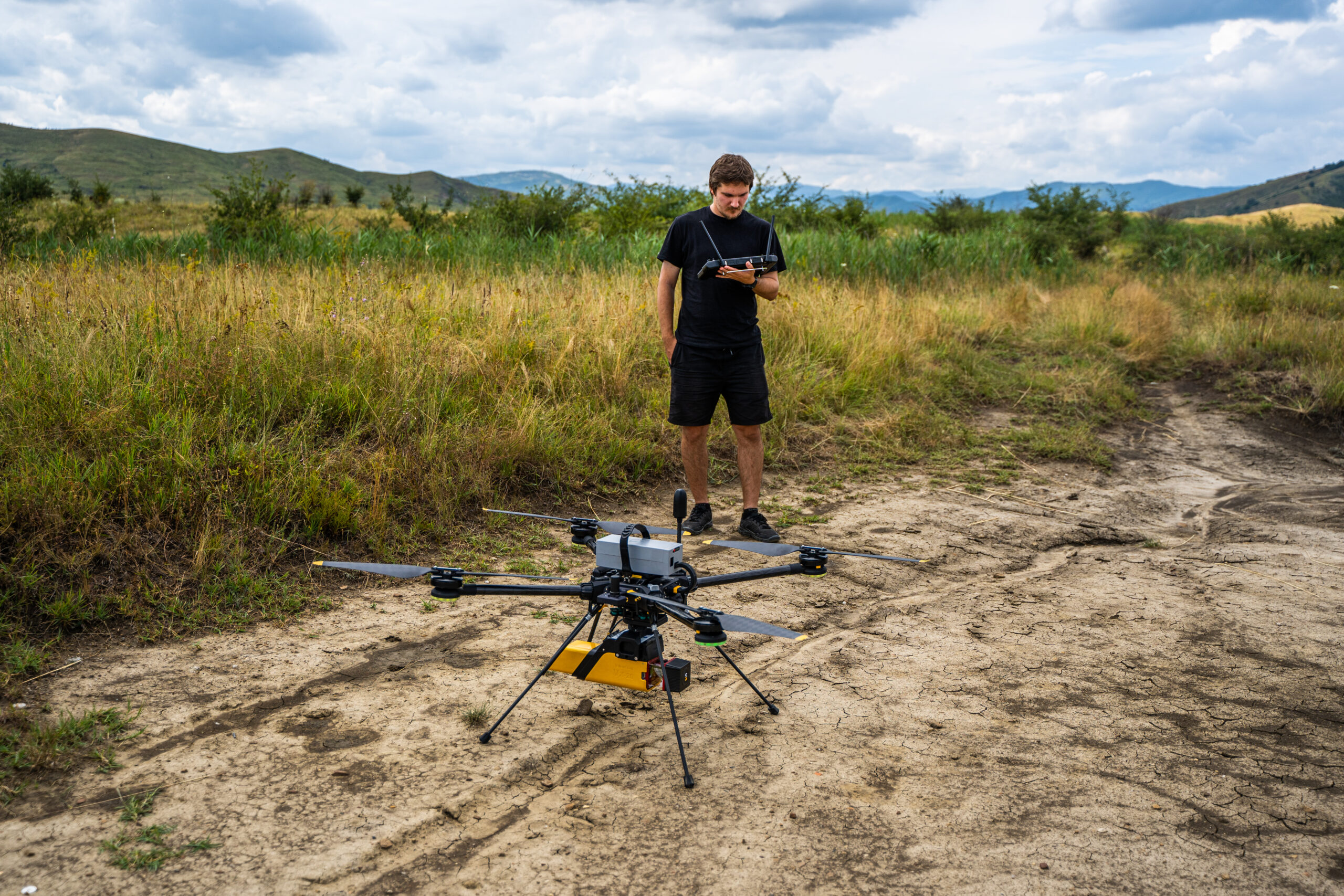
- Compatibility with Hexadrone Tundra 2: The Navigator seamlessly integrates with the Hexadrone Tundra 2, a versatile drone platform, enhancing its operational flexibility and allowing for more efficient data collection in various environments.
The Navigator is particularly effective in environments that require high levels of precision. For example, when mapping the contours of a small riverbed or collecting data in shallow estuaries, the laser-based approach of the Navigator ensures more reliable data, while Z-Boats might struggle with sonar interference.
A Head-to-Head Comparison
When comparing the Z-Boats and YellowScan Navigator, the most significant differences lie in their technological approach, operating environment, and data accuracy.
| Feature | Z-Boats (1800RP/1800T) | YellowScan Navigator |
|---|---|---|
| Technology | Multibeam Sonar | Bathymetric LiDAR |
| Best for | Open water, large lakes, turbid water | Rivers, small lakes, shallow waters |
| Depth Accuracy | Good in deeper water | Superior in shallow water, up to 2 Secchi |
| Data Density | Moderate | High, with finer point clouds |
| Ease of Use | Autonomous but requires setup in large areas | Compact and easy to use and assembly |
| Limitations | Struggles in shallow and confined waters | Less suitable for open deep water areas or turbid water |
| Productivity | Efficient in calm and turbid water | Productive in shallow water, coastal area and rivers |
Which Tool is Right for Your Project?
Choosing between Z-Boats and YellowScan Navigator largely depends on the nature of your project:
- For larger bodies of water, where vast amounts of data need to be collected over a large area, Z-Boats are the preferred choice. Their multibeam sonar capabilities excel in these conditions, offering robust performance and reliable data in lakes, oceans, and wide rivers.
- For smaller, shallower water bodies, the YellowScan Navigator outshines. With its precision LiDAR technology, this system is best for projects that require high-resolution data and superior point density, especially in rivers, small lakes, or estuaries.
In summary, Z-Boats dominate open and deep-water environments with their multibeam sonar technology, while the YellowScan Navigator excels in more confined, shallow waters with its superior accuracy and productivity. Understanding the differences between these technologies is critical in ensuring that you choose the right tool for your underwater surveying needs, maximizing both efficiency and accuracy.
If you’re interested in purchasing YellowScan products, including the Navigator, we encourage you to visit La Orizont‘s website. There, you can explore our full range of offerings and make informed decisions about the best tools for your surveying needs.


