

Using a DJI Matrice 300 RTK drone that is capable of carrying a variety of sensors, including cameras and video cameras, thermal sensors and LiDAR, the ground footprint of buildings can be obtained from the point cloud in Stereo 70, EPSG:3844.
In our project, the Matrice 300 RTK drone flight was planned using the UgCS application. Regarding the sensor used, I used a LiDAR sensor from YellowScan, namely the Mapper+ with a 45° mount.


What is UgCS?
UgCS is a drone flight application developed by SHP Engineering. It is available for mobile devices and computers. UgCS provides a variety of features for drone control, including flight planning and real-time control.

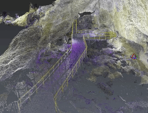
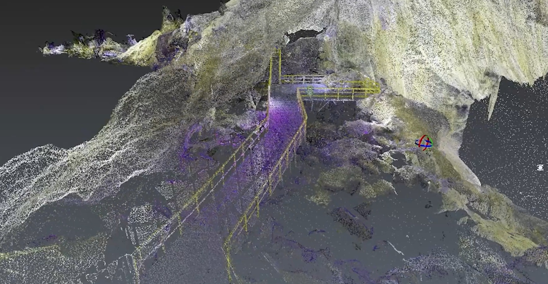
The purpose of the mission was to obtain the ground footprint of the buildings so that they could later be vectorized in PIX4D Survey and processed in the related software. In order to obtain a cloud of points as high as possible, I used a LiDAR sensor from YellowScan, Mapper+ mounted at 45° and performed a grid type mission, precisely to capture as much data as possible.

Export data in Stereo 70 coordinate system, EPSG:3844
The collected LiDAR data is processed and exported in a coordinate system created by La Orizont together with YellowScan to avoid translation errors. Because the purpose of this flight was to vectorize the ground footprint of buildings.
So, to validate the results, we imported the cloud of points obtained from CloudStation into QGIS where we overlaid it on a .SHP file created from the collection of the ground footprint of the building using the classic method, with the total station. After this, the vectorization was done in AutoCAD, and as you can see in the images below the point cloud perfectly overlaps the .SHP exported from AutoCAD, especially the corners under the roof of the house.


In conclusion, by flying the DJI Matrice 300 RTK drone with YellowScan Mapper+ using the UGCS app, you can collect high-quality LiDAR data. With a little practice, you will be able to fly accurately and safely.
See the full range of YellowScan products distributed by La Orizont here.
If you are a surveyor or work in the field of surveying and cadastre, you may be interested in this article about PIX4D Survey.


